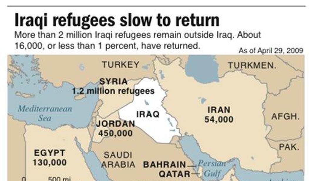
Hamas may never achieve the objective (or so we pray), but China has reportedly already succeeded in “wiping Israel off the map.” Of course, they’ve only been able to do it in a digital fashion online thus far. As the Wall Street Journal reports, Chinese mapmakers Baidu and Alibaba have altered their maps of the Middle East so that the word “Israel” no longer appears in that region. The borders for the countries north of Egypt still appear largely correct, but the name is missing. The names of Israel’s neighbors also remain intact. These two companies are under the thumb of the Chinese Communist Party, so it’s unlikely they would have made such a decision on their own.
Internet users in China are expressing bewilderment that the name Israel doesn’t appear on leading online digital maps from Baidu and Alibaba, an ambiguity that matches Beijing’s vague diplomacy in the region and contrasts with its attentiveness to maps generally.
Baidu’s Chinese language online maps demarcate the internationally recognized borders of Israel, as well as the Palestinian territories, plus key cities, but don’t clearly identify the country by name. The same is true with online maps produced by Alibaba’s Amap, where even small nations like Luxembourg are clearly marked. Neither company responded to questions on Monday. It is unclear whether the development is new, though it has been discussed by Chinese internet users since war broke out.
China has been, for the most part, relatively silent about the war in Gaza aside from calling for an “end to hostilities.” But they are currently more ideologically aligned with Russia and Iran than either America or Israel, so it’s not difficult to imagine where their sympathies may lie. That doesn’t mean that China is spoiling to get directly involved in another war that wouldn’t profit them very much in the long run, but their influence remains substantial. This could have been a more subtle message than sending direct aid to Gaza or Libya.
This sort of map editing for political purposes is far from new. It’s known as “cartographic propaganda” and it dates back at least to the Middle Ages. In its earliest recorded iterations, colonial powers would frequently alter maps to make their own lands appear larger and better situated than that of their adversaries. Earlier maps also reflected spheres of influence, so British cartographers, for example, would depict India as part of the British Empire.
In the early 20th century, the Germans and later the Nazis would redraw lines reflecting how they wanted the world to perceive their territories regardless of what the occupants of those lands might believe. This was all more than simple propaganda. There were no online resources or satellite data back then and maps were relatively scarce as compared to today, when virtually everyone has Google Maps and Google Earth available with only a few clicks on their phones. Foreign leaders would make decisions based on how powerful they perceived other nations to be and maps could provide significant influence in such affairs.
But that brings us back to China. It’s 2023 and you would have to live under a rock to not know where Israel is or what the name of the nation is supposed to be. So what perceived benefit could come from this? Compared to the earlier eras mentioned above, probably not very much. But it’s still a way of sending a message to Israel and the groups and nations that seek to destroy her. China is watching. And if push comes to shove, they may wind up taking sides.


Join the conversation as a VIP Member